 2005 Volume 5
THE ADVENTURES OF PLATY AND THE GANG
2005 Volume 5
The North Country Trail

(click on pictures to see a larger size)
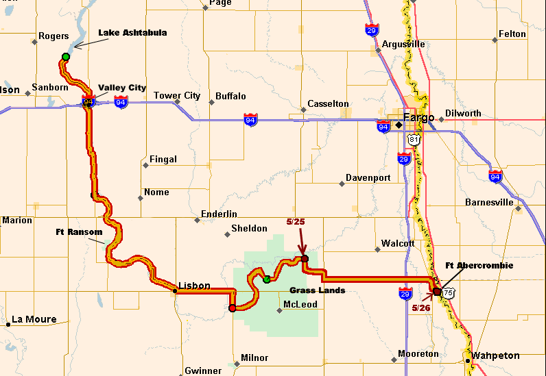
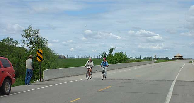
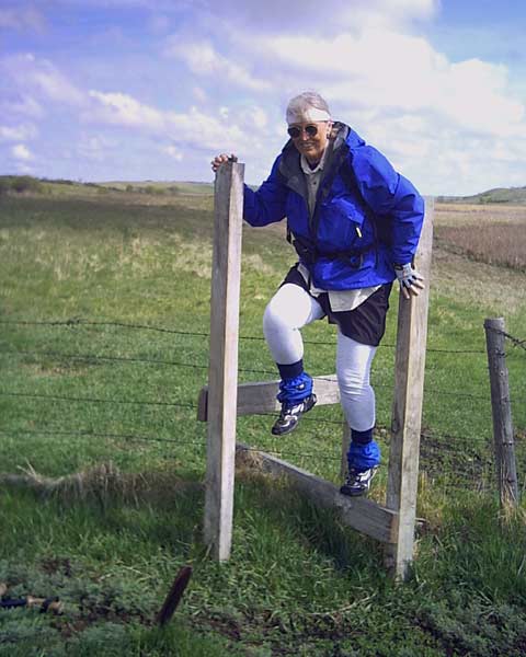 The weather finally improved and Judy and
Adele could get back on the trail. Thanks to Scott at Lake Ashtabula who was
nice enough to give us the map off his wall with the new l0 miles around the
lake marked. It is new and has the posts but not the insignias of the
trail yet. Some places are not quite ready and some rolling under barb
wire was required. They finished the last section around
Lake Ashtabula and were happy to get out of the ticks and weeds for a while.
The weather finally improved and Judy and
Adele could get back on the trail. Thanks to Scott at Lake Ashtabula who was
nice enough to give us the map off his wall with the new l0 miles around the
lake marked. It is new and has the posts but not the insignias of the
trail yet. Some places are not quite ready and some rolling under barb
wire was required. They finished the last section around
Lake Ashtabula and were happy to get out of the ticks and weeds for a while. 
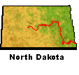
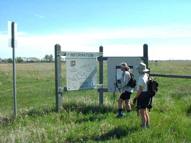
The North Country Trail in North Dakota is
about 439 miles long. Only 214 miles is actually 'certified' which
means it's off the road and is a hiking only trail. The rest is a
recommended route of back roads to connect to the certified sections.
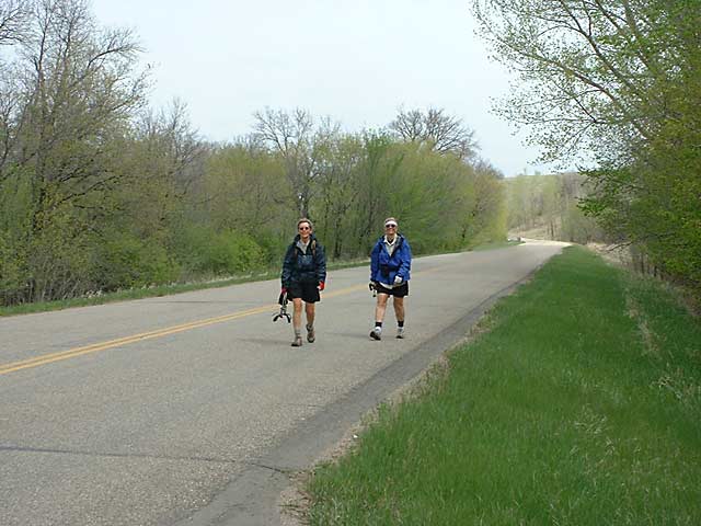
After Lake Ashtabula they biked the road into Valley
City. The section through town has been certified and goes through the
parks and state university there.
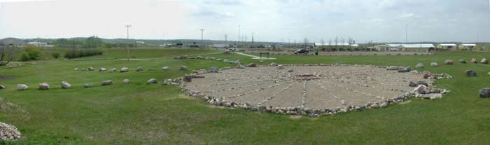

The rock circle in the picture is in Medicine Wheel Park. It's a solar calendar and a solar system model and was constructed in 1992 by the students at Valley State University. It's like an Indian Stonehenge. You can get more info at: http://medicinewheel.vcsu.edu
 From
Valley City south it's another roadwalk to Fort Ransom State Park. From
Lake Ashtabula for 63 miles the trail follows the Sheyenne River Valley national
scenic byway to Lisbon. www.hellovalley.com
Along the way there are interpretive sites to stop and look at.
From
Valley City south it's another roadwalk to Fort Ransom State Park. From
Lake Ashtabula for 63 miles the trail follows the Sheyenne River Valley national
scenic byway to Lisbon. www.hellovalley.com
Along the way there are interpretive sites to stop and look at. 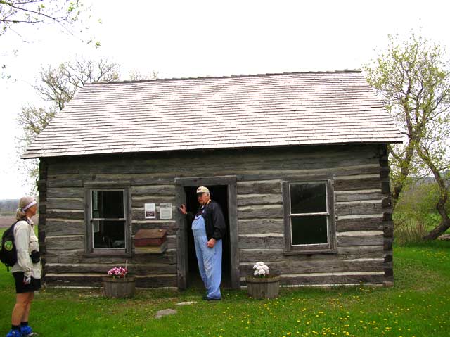 The
girls were stopped by an older gentleman who inquired what they were doing.
After they explained he invited them for a personal tour of the Slattum
Cabin. They were his ancestors and had started living in a cave when they
arrived here from Norway before they could build the cabin. After the tour
they hiked into the campground at the state park where John and I had moved the
RV's.
The
girls were stopped by an older gentleman who inquired what they were doing.
After they explained he invited them for a personal tour of the Slattum
Cabin. They were his ancestors and had started living in a cave when they
arrived here from Norway before they could build the cabin. After the tour
they hiked into the campground at the state park where John and I had moved the
RV's.
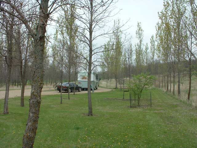 We
were the only one's in the campground besides the camphosts. The next day
they biked the 20 miles to Lisbon and John and I moved the RV's to Dead Colt
Creek 5 miles south of Lisbon.
We
were the only one's in the campground besides the camphosts. The next day
they biked the 20 miles to Lisbon and John and I moved the RV's to Dead Colt
Creek 5 miles south of Lisbon. 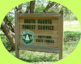 Along
the way is the certified section of the Sheyenne State Forest. The problem
was the bridge was out to get to it from the scenic highway. This required
much driving by Bob on unnamed streets??? to come in from the other side.
Along
the way is the certified section of the Sheyenne State Forest. The problem
was the bridge was out to get to it from the scenic highway. This required
much driving by Bob on unnamed streets??? to come in from the other side.
 This
section would have had to have been skipped if not for Bob and his
support. We ran into two park workers who were checking out the trail for
a group to hike on National Trails Day.
This
section would have had to have been skipped if not for Bob and his
support. We ran into two park workers who were checking out the trail for
a group to hike on National Trails Day.
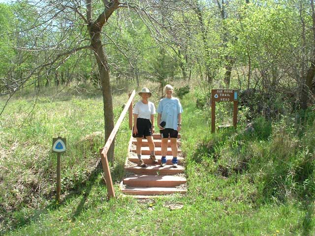
 The next certified section was the Sheyenne National Grasslands. The first
half has a gravel path but the second half is a post to post.
Unfortunately they were putting in new trail and Adele and Judy decided to take
it. When new trail died abruptly it was necessary to do a little GPS work
to find the old trail. Anyone who knows Judy knows what a electronaphobe
she is so this in itself was amazing.
The next certified section was the Sheyenne National Grasslands. The first
half has a gravel path but the second half is a post to post.
Unfortunately they were putting in new trail and Adele and Judy decided to take
it. When new trail died abruptly it was necessary to do a little GPS work
to find the old trail. Anyone who knows Judy knows what a electronaphobe
she is so this in itself was amazing.  It took them 6 hours to do the second half in the rain but otherwise they
arrived unscathed.
It took them 6 hours to do the second half in the rain but otherwise they
arrived unscathed.
 On
the way to the next campground Bob and John dropped Judy and Adele off on the
highway where they biked to the Minnesota Border on May 26th. We stayed at
Fort Abercrombie where the curator of the museum was nice enough to let us stay
behind the museum. We toured the museum and fort. Tomorrow (5/27) we start
biking in Minnesota heading toward Maplewood State Park.
On
the way to the next campground Bob and John dropped Judy and Adele off on the
highway where they biked to the Minnesota Border on May 26th. We stayed at
Fort Abercrombie where the curator of the museum was nice enough to let us stay
behind the museum. We toured the museum and fort. Tomorrow (5/27) we start
biking in Minnesota heading toward Maplewood State Park.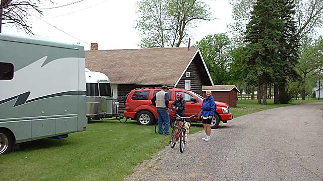
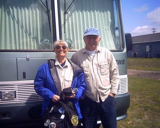
 Adele
is wearing a new shirt that has a map of the trail on the back. It serves a dual
purpose, they can find themselves and Judy can point to where they
are.
Adele
is wearing a new shirt that has a map of the trail on the back. It serves a dual
purpose, they can find themselves and Judy can point to where they
are.